Best Brixham Walks |

| Walk 1 (4 miles) | Walk 2 (4.3 miles) | Walk 3 (4.7 miles) | Walk 4 (1.5 miles) |
| Brixham to Berry Head | Brixham to Elberry Cove | Brixham Heritage Trail | Short Coastal Walk |
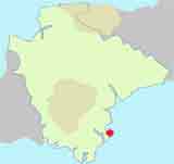
A thriving fish market town with a picture postcard harbour.
The name means'hemmed in land belonging to Brioc'
 | What to explore? |
- Brixham Harbour
- Berry Head &Guard House Cafe
- William of Orange landing at Brixham
 |
|
 | Park & Ride SATNAV Postcode:TQ5 0JD (during summer only) |
Walk 1Brixham to Berry Head (4 miles)
Difficulty:

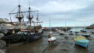
 | Start :Brixham Harbour |
A very pleasant & popular walk to Berry Head with spectacular views of the coast.
| Where to Eat? | |
 | Brixham Fish Restaurant Shoals Restaurant |
The Walk
AIt starts in Brixham's charming harbour and follows the South West Coast path along a pedestrian area and Berry Head Road.
You passBay Cafenear the marina.
BAfter entrance to Berry Head Hotel turn left into a footpath and continue climbing steadily to Berry Head ,it's fort and colourful lighthouse - with magnificent views of the English Riviera & various coast lines.
There is acafe at the guard housewith toilets.
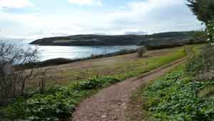
CRetrace route . Once outside fortification turn left and follow coastal path.
DAt Hoseasons bay, take service road through a caravan site. Cross Mudstone lane and continue along a foot path. At the end of this path turn right into Briseham Road then take first left.( Penn Lane).
At cross roads turn right then right again into Greenwood Road.
EFollow this back to the harbour.
| Brixham Pay & Display |
Download Route
| Download GPX | Mobile or GPS | |
| Download FIT | Watches | |
| Google Earth | ||

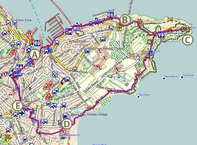
Map of Walk 1
| Walks near Brixham | |
| Paignton | |
 | This delightful walk takes you past Paignton's pier and its charming harbour. |
| Torquay | |
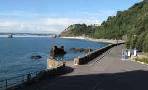 | Great easy circular walks exploring Torquay's magnificent coast line ,its harbour and Tor Abbey. |
| Broadsands | |
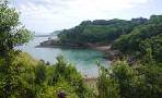 | A varied and pleasant circular walk fromBroadsands to Greenway. |
| Dartmouth | |
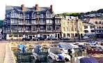 | Dartmouth with its narrow streets and ye olde buildings offers the walker many places of interest including the Boat Float and Castle. |
| Coleton Fishacre | |
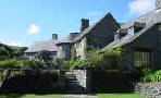 | This most delightful walk skirts Coleton Fishacre,joining a long stretch of the South west Coastal Path, with its breathtaking views and stunning fauna. |
 | William of Orange landed at Brixham and walked his men on his way to London in the pouring rain across a steep hill on a then muddy track - still called Overgang ( Dutch for crossing). |
| more famous people walks |
Walk 2Brixham to Elberry Cove (4.3 miles)
Difficulty:
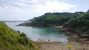
Another popular pub walk following the South West Coast Path along the English Riviera toElberry Cove.
| Where to Eat? | |
| Churston Court, Churston Ferrers |
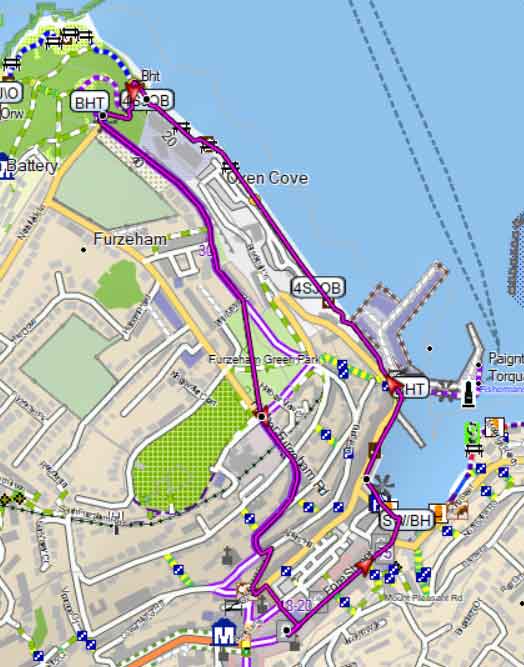
Caution:there are some steep stepsinto Churston Cove (near D on map)
| Start :Brixham Harbour |
The Walk
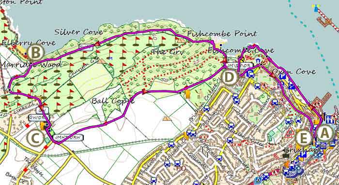
AStart from theGolden Hindin the Harbour.
BHere, you have the option to visit the secluded shingle beach with its almost crystal-clear water.
You return inland joining the well maintainedJohn Musgrave Heritage Trailwhich crosses a Golf Course(download trailhere) .
CNext, you pass St Mary's Church in Churston and a lovely old inn, theChurston Courton right , well worth a visit.
 | Churston Court |
DYou can return the way you came, along the coast, or take this route:
After the camp site continue along Fishcombe Road ;passing the Brixham Battery Heritage Centre.
Just before a small car park (right) take a footpath on left through a wooded area joining a lane turn right then into North Furzeham Road and continue for half a mile.
ETake steps on left back to harbour.
Download Route
| Download GPX | Mobile or GPS | |
| Download FIT | Watches | |
| Google Earth | ||
Map of Walk 2





Walk 3Brixham Heritage Trail (4.7 miles)
Difficulty:

| Start :Brixham |
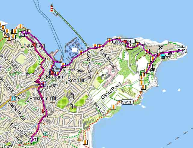
The lottery fundedBrixham Heritage Trail includes 47 attractions, including Berry Head, the Marina, the Harbour, Oxen Cove, Battery Gardens and Bolton Street.
The trail is linear - to return to the starting point we suggest walking back along Drew Street; then , just past the hospital on your right turn right into Rea Barn Road and continue East.
At the outskirts continue along Gillard Road to the car park - distance 1.5 miles.
Download Route
| Download GPX | Mobile or GPS | |
| Download FIT | Watches | |
| Google Earth | ||
Map of Walk 3
Walk 4Short Coastal Walk (1.5 miles)
Difficulty:

| Best Devon Town Trails |  |
A short walk along the coast with a steep ascent and some steps.
Use the map as a guide and allow 1 hour.