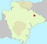
Uffculme Walks along the river Culm into unspoilt Devon
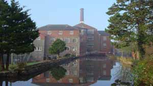
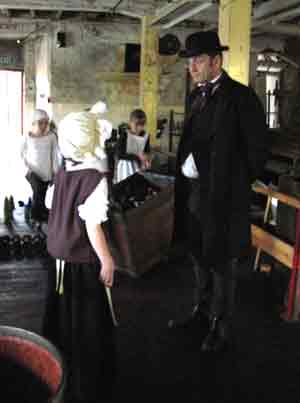
Uffculme is an old market town known for it's Coldharbour Mill, a 200 year old spinning mill .
Recreation Ground see map
Walk 1
| Walk 1 Uffculme to Culmstock (6.8 miles) | Time:2h 30 mins |
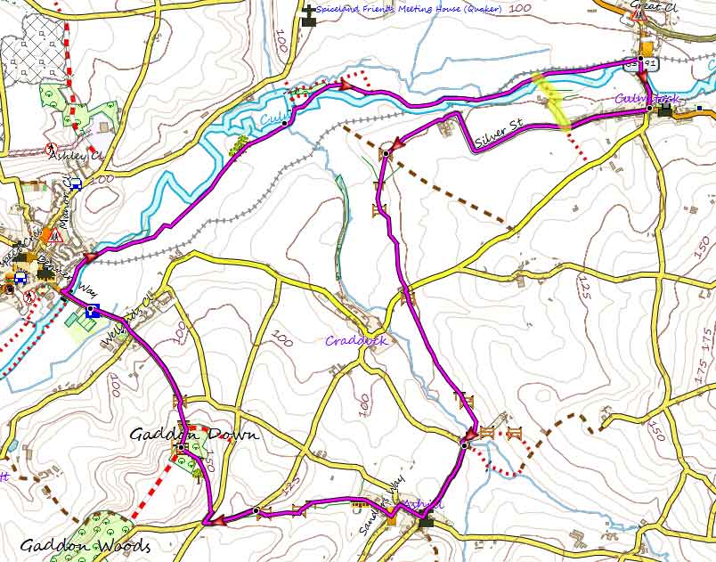 Tap map for larger version | 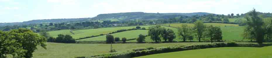 | |||
This delightful walk follows a well defined footpath along the river Culm into Culmstock. It passes the It returns via Ashill passing its pub It includes quite a steep climb to Gaddon Downwith - however the views are quite stunning. There are several options: a) loop back onto the path from Uffculme by crossing a footbridge. This avoids a steep climb onto Gaddon Down b) by-pass Culmstock and cross the bridge then continue to Ashill (6.1 miles) |
 | |||
| see main parking area | |||
| Geocaches |
| GPX for GPS | |||
| Show on Google Earth | |||
| How to view a GPX file | |||
| Walks near Uffculme: | |
| Culmstock | |
 | Enjoy the peaceful Blackdown Hills around Culmstock through delightful walks of various lengths |
| Cullompton | |
 | A great selection of river & country walks |
| Hemyock | |
.jpg) | Although the walk contains one of the steepest climbs, the views and the well marked footpaths through rolling and remote landscapes make it a most enjoyable experience. |
| Burlescombe | |
 | A delightful and easy walk using part of the Grand Western Canal to Holcombe Rogus - Holcombe means Wooden Valley. |
Walk 2
| Walk 2 (4.2 miles) | Time:1h 50 mins |
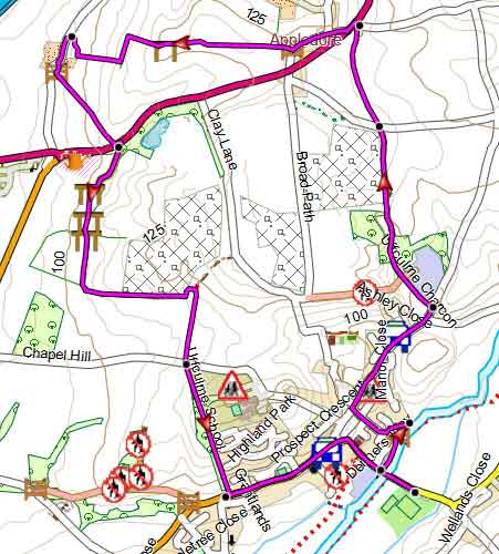 Tap map for larger version | The second and shorter (4.2 miles) walk takes you North of the town,past the quarries into Appledore offering spectacular views. Some of the paths along the fields could be narrow more walks along the river Culm | ||
| see main parking area | |||
| GPX for GPS | |||
| Show on Google Earth | |||
Walk 3
| Walk 3 Town Trail (2 miles) | Time:50 mins |
 | 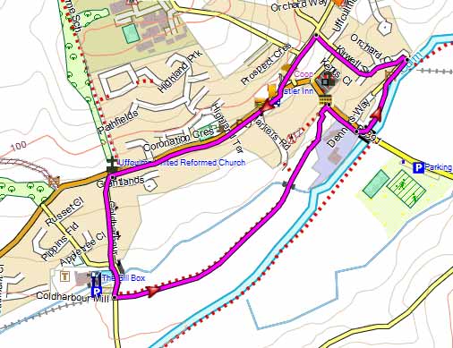 Tap map for larger version | ||||||||||||||
A short but pleasant town trail starts at the so called Shambles, a public seating area , and passes Cold Harbour Mill which is well worth a visit.
| |||||||||||||||
| Show on Google Earth | |||
| GPX for GPS | |||
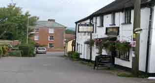 | Ashill Inn |