Eggesford Forest Walks |
Eggesford Forest , managed by the Forestry Commission, is an ideal centre for short walks.
It's beauty and unspoilt charm is due in many ways to its isolation.
- Caution, some paths can be quite steep.
- In 1601, Christopher Wood inherited the Eggesford estate and planted a large number of trees in the woods.
- In the 19th century, the Eggesford estate was owned by the Acland family who continued to manage the woods for forestry purposes.
- In the 20th century, the Eggesford estate was sold to the Forestry Commission.
- The woods are also home to a variety of wildlife, including deer, foxes, and badgers.
| Eggesford Forest, picnic area | |
| None in this area | |
| Car park at Hilltown Wood & Heywood Wood. | |
| SATNAV Postcode: EX18 7LD | |
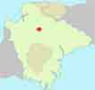
| Map of Eggesford Forest |
The Little Dart Ridge & Valley long distance Walk running through Eggesford Forest
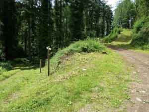
Walk 1 Forest and stream Walk (1.5 miles)
![]() Difficulty:
Difficulty:![]()
A short but very pleasant and gentle woodland amble a long a stream with two foot bridges and some steps.
However, we advise you to print our map and explore the forest more fully.
Download Route
| Download GPX | Mobile or GPS | |
| Download FIT | Watches |
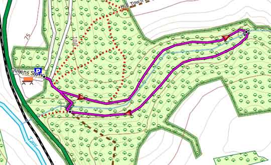
Map of Walk 1
| Walks near Eggesford Forest | |
| Eggesford | |
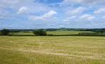
 | A most varied & scenic walk, partly following the Tarka trail to the river Taw and crossing Eggesford Forest. |
| Chulmleigh | |
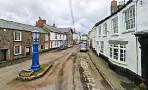 | Thatched cob cottages , narrow cobbled streetsand extensive views of Dartmoor. |
| Lapford | |
 | A lovely country walk from a village with character so typical of 'old' Devon. |
| Zeal Monachorum | |
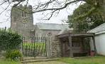 | The tranquil hills around Zeal 'Monachorum' have changed little since the Middle Ages when they were cultivated by the monks of Buckfast Abbey. |
| Morchard Bishop | |
 | Morchard (Large Wood) Bishop lies almost halfway on the Two Moors Way . In the village you will find a detailed map of all the footpaths in the area , a welcome sign to all walkers and hikers. |
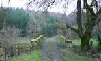
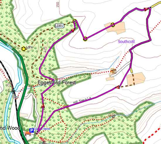
Walk 2 Forest & rural Southcot (2.4 miles)
![]() Difficulty:
Difficulty:![]()
This walk follows public footpaths and bridlepaths and joins the Little Dart Ridge and Valley Way, a long distance walk between Chulmleigh and Witheridge as it re-enters the forest.
Download Route
| Download GPX | Mobile or GPS | |
| Download FIT | Watches | |
| Google Earth | ||

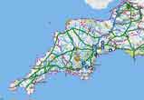 |
| FREE SOUTH WEST HIKING MAP |
|
Map of Walk 2
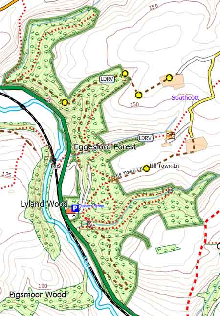
Map of Eggesford Forest's paths & tracks