Best Burlescombe Walks | near the Grand Western Canal |
| Walk 1 (1.3 miles) | Walk 2 (4.9 miles) | |
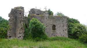
| to the Ruins of an old Priory | to Holcombe Rogus |
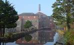
Burlescombe grew in importance when during the 19th century superior limestone was mined in quarries nearby.
The name means Burgweald's valley with steep sides.
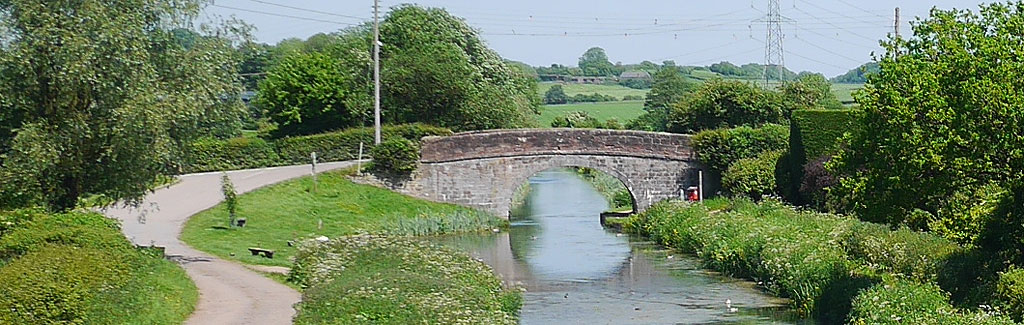
| Grand Western Canal Canonsleigh Priory Westleigh Quarry Trail | |
| Aysford Arms | |
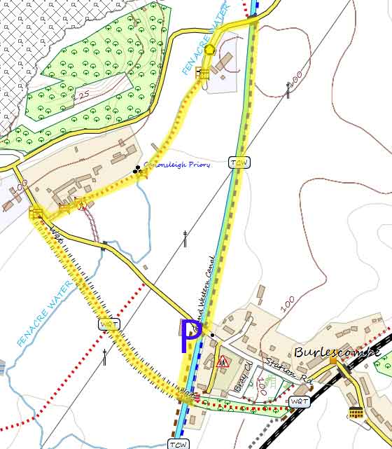
| Limited parking area near Bridge in Burlescombe - see map |
Walk 1 to the Ruins of an old Priory (1.3 miles)
Difficulty:![]()
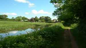
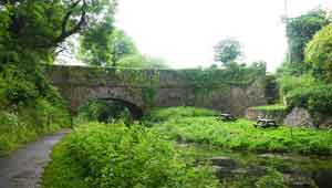
Enjoy a short and easy walk along the Grand Western Canal and into rural Devon, past the ruins of Canonsleigh Priory, an Augustinian nunnery. Much of it still survives.
As you join the main road, turn right then left up a path which runs along a dismantled railway line and takes you back to the car park.

| Download GPX | Mobile or GPS | |
| Google Earth | ||
Walk 2 to Holcombe Rogus (4.9 miles)
Difficulty:![]()
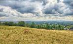
A delightful and easy walk using part of the Grand Western Canal to Holcombe Rogus - Holcombe means Wooden Valley.
We have been informed by one of our followers that the current walk is blocked by a locked gate ( on a public footpath ! ) after Holcombe Rogus . Please use temporary detour map.
Its worth paying a visit to it's 13th century All Saints Church - There has been a place of worship since then 10th century.
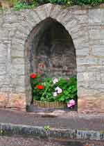
Look out for various drinking wells.
The route passes the village pub:![]() Prince of Wales
Prince of Wales
It returns using mainly footpaths - some may become overgrown.
There is an option to see the ruins of an old priory and follow theWestleigh Quarry Trail (dismantled railway) across the canal and into the village of Burlescombe (towards the pub).
| Download GPX | Mobile or GPS | |
| Download FIT | Watches | |
| Google Earth | ||
There are no steep climbs.
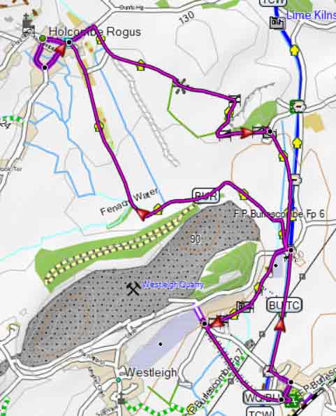
Map of Walk 2
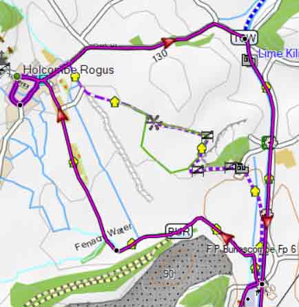
Detour