Garmin Tools
  dutch german en francais spanish spanish polish russian
Pinns UK on Twitter

 Advanced Tools designed to improve your Garmin maps

   
typwiz 7 Theme Editor

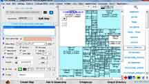
TYPWiz 7

Advanced TYP file Editor


Theme Editor

Creating & Editing Garmin Map Themes


Mapuploader 6 img2typ 5

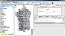
MapUploader 6

Create Garmin (Nuvi) compatible maps


IMG2TYP 5

Create a TYP file from any IMG


TDB Editor Poly Editor

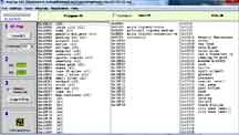
TDB Editor

control & (un)lock Mapsource / Basecamp

POLY Editor

Create & Edit poly files

ANT+ FIT to GPX for Dummies

  • Unravel the basic FIT file structure
  • How to convert FIT to GPX

Fit files are now very common on new Garmin devices, especially watches

How to convert FIT data to create a GPX file
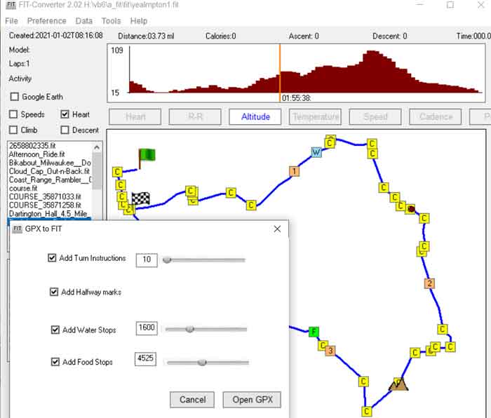
 

Free FIT Converter

Poly Editor

Convert FIT to GPX / CSV
See how your speed and heart-rate varies
during a route
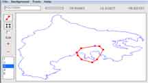
Free Route Editor 3

Poly Editor

Mkgmap Tricks & Tips


Lots of How to ideas


Read more >

New Version
Quickly change routing properties
of your Customised Garmin Maps
 

DEM Hill Shading

  • Investigate the mysteries of Garmin's DEM subfile
  • How to add hill / terrain shading to your own IMG using a DEM subfile


How to add DEM subfiles to Garmin maps >


gmp2typ 1.3

  • Extract any TYP file from a gmapsupp.img or any img found on your Garmin up to 2gig in size.
  • Just drop any gmapsup-type img on to the GUI and it will extract the TYP file if present.


Read more >

OS50 & Mapnik Typ

Download TYP files


OS 25,000 ,OS 50,000 TYP >


Mapnik TYP >


Active Routing

  • Many Garmin TOPO 2012 maps offer active routing :
    They contain the main cycle,hiking ,mountain biking etc routes which you can have highlighted.
  • We have created a map of all the hiking routes in Devon UK showing appropriate symbols for each route and overlapping colours when routes are combined.

For more information and a free download of Devon Hiking Map check out

Active Routing >

Garmin Undocumented

Check out our latest Garmin Findings


Read more >


OSM POIs on Garmin Nuvis

  • Create your own nuvi pois from osm files using our new nuvi osm2poi
  • Includes Devon speed camera and pub POI files

.

Download here >


style2typ

  • Quickly create a TYP file showing all the elements contained in your mkgmap style sheets.


Read more >

GUI file structure

  • Garmins POIs, ie speed cameras, are stored in a .gpi file.
  • Learn how to put them onto your car / bike satnav.
  • Learn about the gpi file structure, documented for the first time.
  • Download speed cameras for most countries in Europe.


Check out here >


Exploring Garmin's IMG Format

  • Ever wanted to unravel Garmin's IMG file type but became daunted by its complexity?
  • Our most popular Exploring IMG Format will help you plot all the highways, polygons and pois in an IMG file and explain what can be retrieved from 'locked' TOPO files.