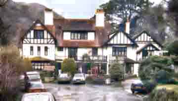
Hunter's Inn
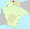
Hunter's Inn , a walker's favourite pub, lies secluded in the river Heddon valley.
Walk 1
| Walk 1 Heddon's Mouth Beach (2 miles) | Time:50 mins |
 Hunter's Inn | 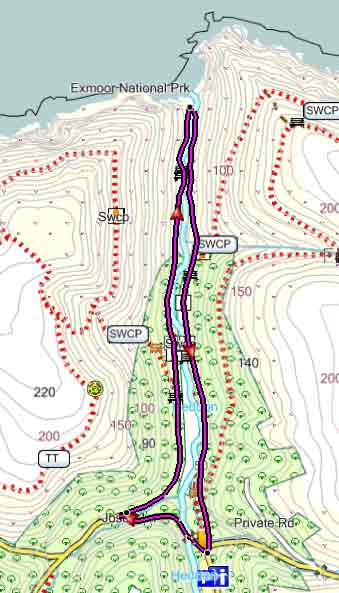 Tap map for larger version | ||
| Hunter's Inn | |||
| see main parking area | |||
An easy walk along the little Heddon to the mouth of the river and Heddon's Mouth Beach. After 0.2 miles turn sharp right into a signed track. . Continue to the coast with river on your right. | |||
| Show on Google Earth | |||
| GPX for GPS | |||
| How to view a GPX file |
| Walks near Hunter's Inn: | |
| Combe Martin | |
 | Exploring the highest point of the South West Coast Path. |
| Dulverton | |
 | Dulverton delightful town, boasting several pubs,restaurants , cafes and shops is a most popular centre for walkers |
| Dunster | |
 | The historic & picturesque village of Dunster on the edge of Exmoor & the Quantocks has been the setting for many films. |
Walk 2
| Walk 2 Hunter's Inn Coastal Walk (5 miles) | Time:2h 10 mins |
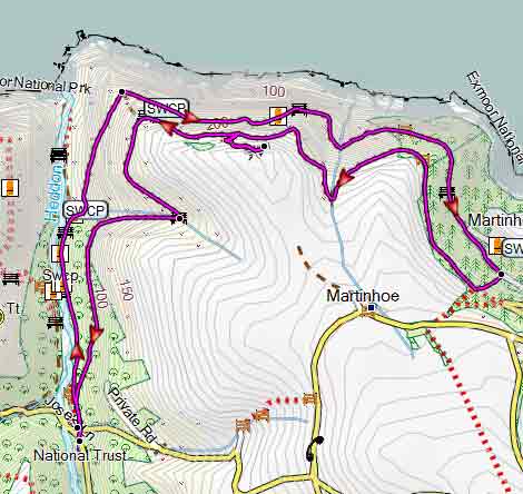 Tap map for larger version | A delightful walk with extensive coastal views and a possible excursion to a Roman Fort From the Car Park take a path right of the pub and continue along the South West Coast Path following signs for Woody Bay, sheltered by woody cliffs.. | ||
| see main parking area | |||
| GPX for GPS | |||
| Show on Google Earth | |||
Walk 3
| Walk 3 Coastal walk to Martinhoe (3.9 miles) | Time:1h 40 mins |
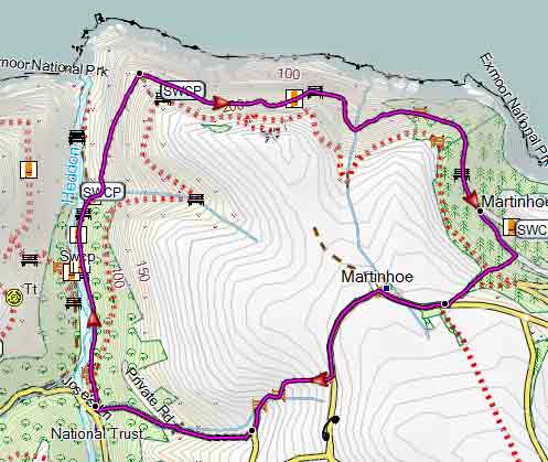 Tap map for larger version | Similar to walk 2 but returning via Martinhoe with its 16 listed buildings and a church dating back to the 13th century. | ||
| see main parking area | |||
| GPX for GPS | |||
| Show on Google Earth | |||