Best Silverton Walks
| Walk 1 (3.7 miles) | Walk 2 (2.7 miles) | Walk 3 (6.8 miles) | Walk 4 (4.5 miles) |
| to Killerton | to Bickleigh Mill |
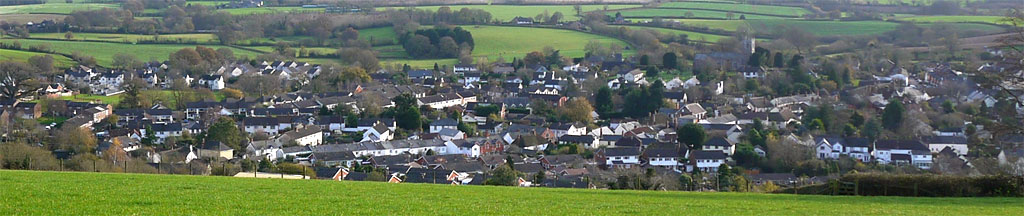
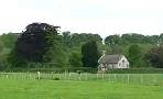
The village, one of the oldest in Devon, features an oak tree almost 1000 years old.
Apparently, Sir Thomas Fairfax was quartered with his army at Silverton in 1645.
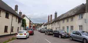
The Three Tuns has been closed since April 2015.
. Every summer the village holds a street market.
| The Three Tuns (closed) & street market | |
| the Silverton Inn and the Lamb. | |
| Car Park near Health Centre | |
| what3words ///eventful.fingernails.test | |
| SATNAV Postcode:EX5 4HZ |
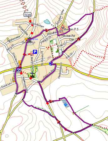
Walk 1 Greenslinch (3.7 miles)
Difficulty:![]()
This pleasant and short walk does not include a steep climb or descent.
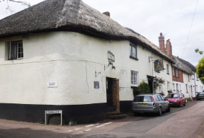
Unfortunately the famous Three Tuns Inn is permanently closed.
terrain: | tracks, paths |
| lanes | |
main roads | 0 % |
1% | |
altitude range | 73 - 149 m |
Download Route
| Download GPX | Mobile or GPS | |
| Download FIT | Watches | |
| Google Earth | ||

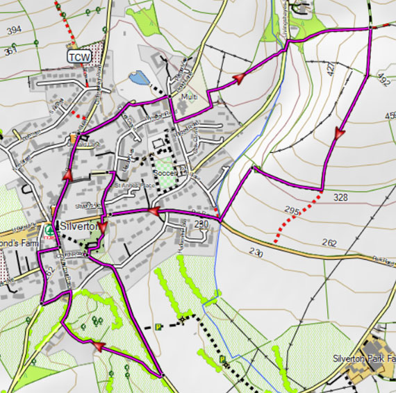
Map of Walk 1
| Walks near Silverton | |
| Thorverton | |
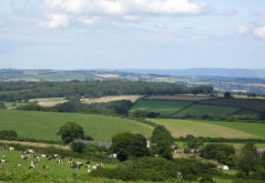
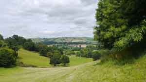
 | Raddon Hills offer the walker some of the best views of Dartmoor and Haldon, ideal for a picnic. |
| Butterleigh | |
 | Three scenic walks through a lush & tranquil landscape from a village known for its Inn. |
| Killerton | |
 | A delightful family walk skirting Killerton Gardens to Columbjohn's chapel. |
| Stoke Canon | |
 | This easy and relaxing walk along the meandering Exe to an old chapel in Nether Exe; unusual in that access is only by walking across a field. |
| Bickleigh | |
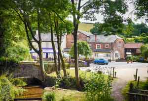
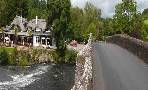 | Bickleigh is known for its bridge across theExe (allegedly made famous by Simon and Garfunkel) its 15th century castle, an old mill, a Railway Centre and two popular pubs. You have a choice of 3 top walks! |
Walk 2 Short Circular (2.7 miles)
Difficulty:![]()
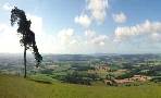
This is a short but quite hilly walk offering breathtaking views of Killerton and Haldon.
 |
| FREE SOUTH WEST HIKING MAP |
|
Map of Walk 2
Walk 3 to Killerton (6.8 miles)
Difficulty:![]()
This delightful walk leads to Killerton Park using country lanes and paths .
On the way back it loops around the outskirts of the park then follows the same path along the river Culm back to Silverton. Beware of trains when crossing the lines.
The walk could also start at Killerton.
Download Route
| Download GPX | Mobile or GPS | |
| Download FIT | Watches | |
| Google Earth | ||
| Car Park near Health Centre |
There is one steep climb.
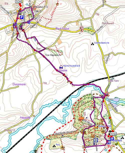
Walk 3 Silverton to Killerton
Walk 4 One way to Bickleigh Mill (4.5 miles)
Difficulty:![]()
Follow the Two County Ways to Bickleigh and enjoy a lunch or some refreshments and take the 55A bus back or return the same way.
The way is not signed but use the gpx below to follow the route on your mobile or gps.
There is one steep ascent out of Silverton but the views are quite spectacular.
The route is dog friendly and follows public footpaths and quiet lanes.
If you are really ambitious you can use Bickleigh as a half way stop and continue for another 3.8 miles to Tiverton - more information - and take the bus back.
Download Route
| Download GPX | Mobile or GPS | |
| Download FIT | Watches | |
| Google Earth | ||
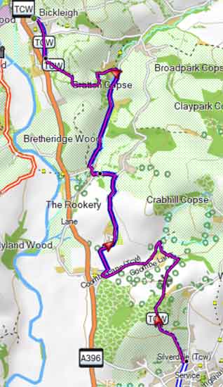
Walk 4 To Bickleigh Mill