Thorverton Walks | crossing most scenic landscapes |
| Walk 1 (1.9 miles) | Walk 2 (5.4 miles) | Walk 3 (2.6 miles) |
| Short local walk | Thorverton to Raddon Hills | Thorverton to disused railway |
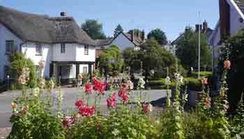
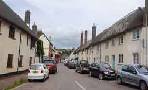
The delightful and friendly village of Thorverton boasts a church, school, Post Office and 2 pubs.
The name could mean Thorn Tree crossing or could refer to a Viking Lord.
In 2019 part of a neolithic settlement was excavated.
| Millennium Green | |
| The Thorverton Arms & the Exeter | |
| Thorverton small Car Park Residential:Jericho Street |
| what3words///kebabs.gliders.flagging | |
| SATNAV Postcode:EX5 5NQ |
Walk 1 Short local walk (1.9 miles)
Difficulty:![]()
An easy walk around Thorverton following quiet lanes and public foot paths.
The Walk
A The route starts at Silver street. Turn right into Dinniford Street then left onto a footpath passing St Thomas of Canterbury church.
Cross road onto another footpath.
B On your right a field which was excavated in 2019 - search for Thorverton Dig.
At end of footpath turn left then almost immediately right onto another footpath
At the lane junction with lane turn right and continue past a recreational area on your left.
C Turn left into a public footpath . This eventually joins a drive to an estate (D)
. At T junction turn left into a lane.
E After 0.3 miles turn right into a public footpath with residential area on your right.
Continue then turn left into School Lane.
Download GPX route for Mobile / GPS
Download FIT route for Watches / GPS
| How to view a GPX / FIT file | |
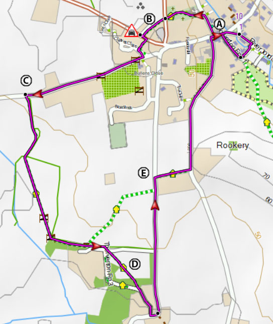
Map of Walk 1
| Walks near Thorverton | |
| Silverton | |
 | Three great walks from one of the oldest villages in Devon. It features an oak tree almost 1000 years old. |
| Bickleigh | |
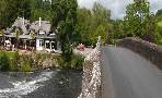 | Bickleigh is known for its bridge across theExe (allegedly made famous by Simon and Garfunkel) its 15th century castle, an old mill, a Railway Centre and two popular pubs. You have a choice of 3 top walks! |
| Butterleigh | |
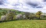 | Three scenic walks through a lush & tranquil landscape from a village known for its Inn. |
| Shobrooke | |
 | Shobrooke, East of Crediton, is a most popular centre for walkers. Two great walks with extensive views of tranquil rolling hills. |
| Crediton | |
 | Many great walks of varying lengths to choose from. |
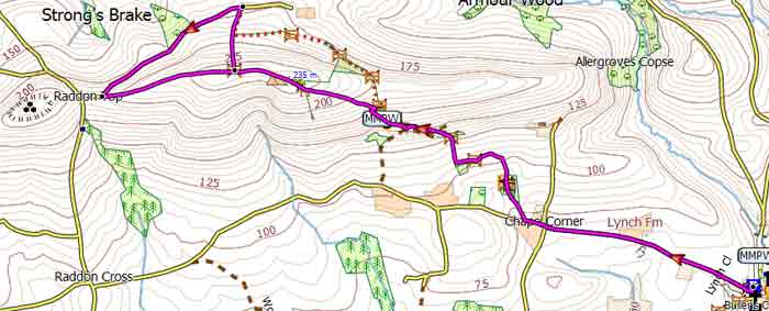
Walk 2 Thorverton to Raddon Hills (5.4 miles)
Difficulty:![]()
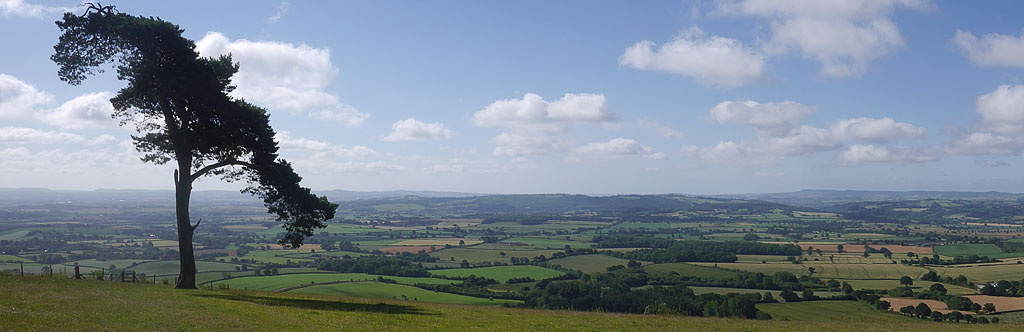
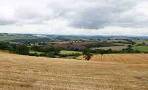
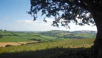
| spectacular views of Haldon and Dartmoor |
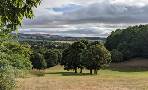
Raddon Hills offer the walker on this 5 mile hike some of the best views of Dartmoor and Haldon, ideal for a picnic.
It takes you along an ancient ridgeway which would have led to one of the most western causewayed enclosures in England. No wonder so many neolithic finds have been made in this area. The Romans, too, would have been familiar with Raddon Hills judging by the site of a villa east of Thorverton.
However, because of parking issues, this walk defies some of our dearest principles.
- Never include walks which are basically linear.
- Avoid walks which include a longish stretch with intermittent traffic.
Evenso, the return journey is basically downhill with new vistas and new challenges.
The Walk
A For 0.6 miles follow the lane to Crediton. Lynch Farm , an impressive brick building, roughly marks the half way point of this at times busy stretch - dogs need to be on a lead.
| This stretch can be subject to heavy traffic. |
B After the cross roads take a public footpath on right. The route is well marked with yellow arrows
Once out of a small wood, follow the curve of a hedge on right . Go through wooden gate in between the hedge then with hedge on left continue until a small gap at the top on left .Enter gap and continue with hedge and trees on left.
C Footpath joins a track that leads to a house Follow this track passing house on right then curve right just before some outbuildings. Take care not to miss a gap in the hedge on left with steps leading into a field - you know you have gone too far when you reach an iron gate!
Now aim for a lone pine tree at the top left.
D You can either return the way you came or make a detour down hill - go through iron gate then almost immediately turn right into a barely visible footpath that takes you down to a lane.
At the bottom of the lane turn left then follow the lane until you see a corrugated shelter on left.
E Turn left into track, part of an ancient ridgeway, which leads you back to the lone pine tree. If you were to continue along the lane you reach a T junction ; ahead of you , beyond the brow of the hill, lies Raddon Hill's neolithic enclosure barely visible due to excessive ploughing - see map.
Walk 3 Thorverton to disused railway (2.6 miles)
Difficulty:![]()
An easy and pleasant stroll to a disused railway line.
It returns joining the Exe Valley Way.
Download GPX route for Mobile / GPS
Download FIT route for Watches / GPS

Map of Walk 3