

Exeter Green Circle | a circular walk around a Roman City |
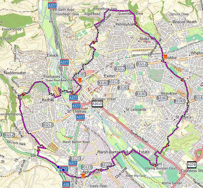
This carefully designed circular walk around Exeter avoids major roads and follows old lanes, tracks, footpaths and some residential roads.
 | See Exeter's landmarks from a distance |
 | Exeter Car Parks |
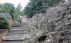
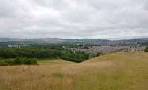
Distance: 12.5 miles
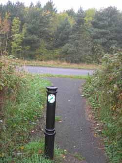
The Green Circle in Exeter is a walking and cycling route that weaves around the city's five valley parks.The route is well-marked with a green and white circle symbol.
Difficulty:

Some major roads will need to be crossed - most have a pedestrian crossing with lights.
If the distance of almost 13 miles is somewhat daunting , you may wish to only do part of it and use the bus to return to your starting point.
The route is well signed.
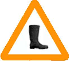 | Barley Valley can be muddy - see map |
| Follow light green arrow on white disc. | 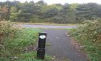 |
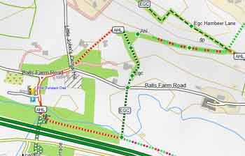
It seems to avoid pubs but one is worth mentioning on the outskirts of Exeter ; it is ten minutes off the main route.
 The Twisted Oak (Balls Farm Road)
Free Map of Devon for Walkers
The green circle also appears on our free Walker's Map of Devon.
- more up to date than OS maps
- contains many public paths not found on OS maps!
For more information click here.
Download Route
| Download GPX | Mobile or GPS | |
| Download FIT | Watches | |

| Show on Google Earth (East) |  |
| Show on Google Earth (West) | |
 | |
For more 'hiking' routes in Devon click here.
length: | 12.5 miles |
terrain: | tracks paths |
| lanes | |
main roads | 0 % |
stiles | several |
