Chard Walks | Walking through history |
| Select Your Walk | Walk 1 (4.9 miles) | Walk 2 (3.5 miles) | |
| Wambrook Church | Reservoir & Chaffcombe |
Walk 1 Wambrook Church (4.9 miles)
Difficulty:![]()
A From the carp park cross the road into Michell Gardens then take a path with wood on your right. At the end of the path t urn left into the newly established Snowdon Park.
Continue following a path on the outskirts of Chard until you see a long and straight path heading south .
B Turn right and follow this path to a lane (Bounds Lane). Turn left then almost immediately turn right onto a public footpath heading towards two clumps of wood.
At the end turn left intoGreen Lane; at a the T junction turn left into Narfords Lane. After 0.3 miles turn right onto a public footpath through a gate.
C Continue heading North West. After second gate continue for about 80m and take a footpath through the woods on your left.
D Do not climb uphill through a field.
The path joins a drive . Turn left and continue along this drive for 0.3 miles.
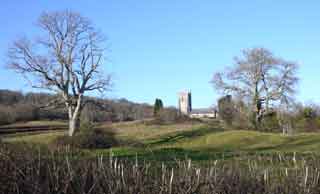
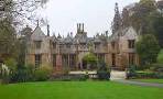
E A the T junction turn left then onto a footpath towards the Church.
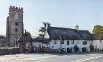
Before the church yard turn right and continue east into the woods. Where it joins another path turn right and continue past the Cotley Inn
Turn left and foil low this lane for 0.8 miles'
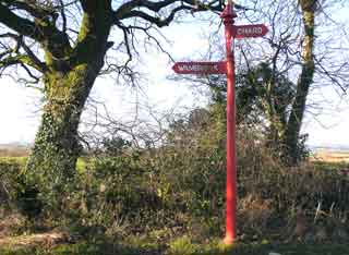
F At a unique red fingerpost turn right then soon left onto a public footpath, heading back to Chard.
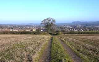
G The path joins a residential road. At the T junction turn right onto the A30.
Take the first footpath on right .Continue to Mitchel Gardens
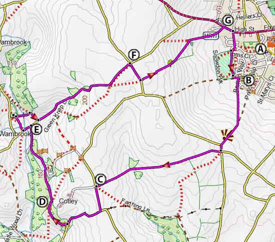
Map of Walk 1
FIT route for Watches / Mobile
| Crowshute Pay & Display, near Sainsbury's | |
| SATNAV Postcode:TA20 2EN |

Walk 2 Reservoir & Chaffcombe (3.5 miles)
Difficulty:![]()
| Car Park End of Oaklands Avenue |
This popular walk takes you to the edge of Chard Reservoir then returns via the charming village of Chaffcombe - combe meaning valley with grassy hills.

FIT route for Watches / Mobile
FREE 2021 HIKING MAP of South West
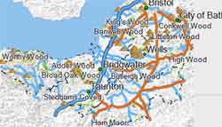
- More up to date than OS maps
- Designed for Walkers & Hikers
- PRINT YOUR OWN WALK IN DEVON!
No Login or Membership required!
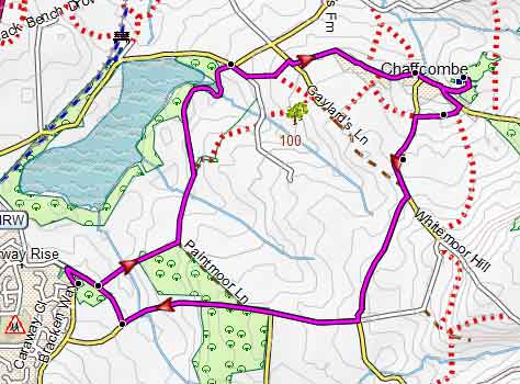
Map of Walk 2