East Budleigh nestling in an area of outstanding natural beauty
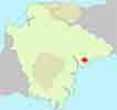
Mentioned in the Doomesday Book this picturesque village with a car park is ideal for exploring the delightful Raleigh country.
East Budleigh originally was called Budleigh as it was larger than Budleigh Salterton, a town which used to be named Salterton.
Walk 1
| Walk 1 Popular inland walk (2.8 miles) | Time:1h 10 mins |
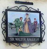 Raleigh Pub | 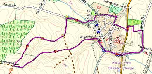 Tap map for larger version | ||
| Raleigh Pub , Obelisk, Otterton Mill | |||
| Free Car Park behind Church | |||
This short walk takes you through a most picturesque village to the start of Hayes Wood from where the views of the coastline are quite stunning. There is one steep climb. | |||
| Show on Google Earth | |||
| GPX for GPS | |||
| How to view a GPX file |
| Walks near East Budleigh: | |||
 | .jpg) | ||
| Colaton Raleigh | Budleigh Salterton | Otterton | |
Walk 2
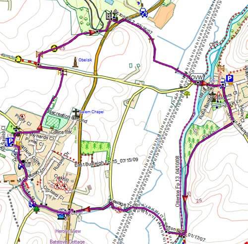
| Walk 2 Obelisk & Otter(3.5 miles) | Time:1h 30 mins |
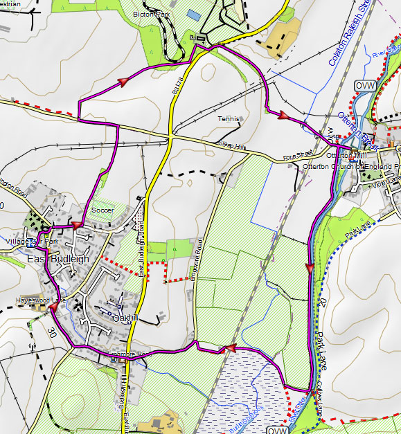 Tap map for larger version | This delightful and easy walk starts at the car park in East Budleigh and takes you past Bicton Obelisk & Church then returns via Otterton Mill (well worth a visit) , along the Otter and an old aqueduct. | ||
| see main parking area | |||
Walk 3
| Walk 3 Obelisk , Otterton variation (3.5 miles) | Time:1h 30 mins |
 Tap map for larger version | Like walk 2 but via Otterton and returning using an old lane, now a cyclepath, above the Otter with magnificent views of the valley - road is closed to vehicles. The route takes you along East Budleigh's Middle street and High street with its charming stream and cottages. | ||
| see main parking area | |||
Walk 4
| Walk 4 to Budleigh Salterton 5.5 miles | Time:2h 20 mins |
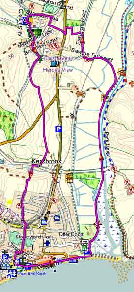 Tap map for larger version | This pleasant (pub) walk takes you to the charming town of Budleigh Salterton and returns via the river Otter and the Otter Estuary Nature Reserve. | ||
| see main parking area | |||