Budleigh Salterton Walks
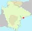
Budleigh Salterton owes its name to salt pans made by monks from Otterton Priory.
Footpath along the river from Budleigh up to the first bridge has been reopened, February 2019.
Walk 1
| Walk 1 Otter Estuary (3.2 miles) | Time:1h 20 mins |
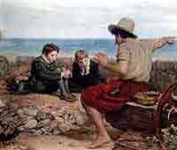 Boyhood Raleigh | 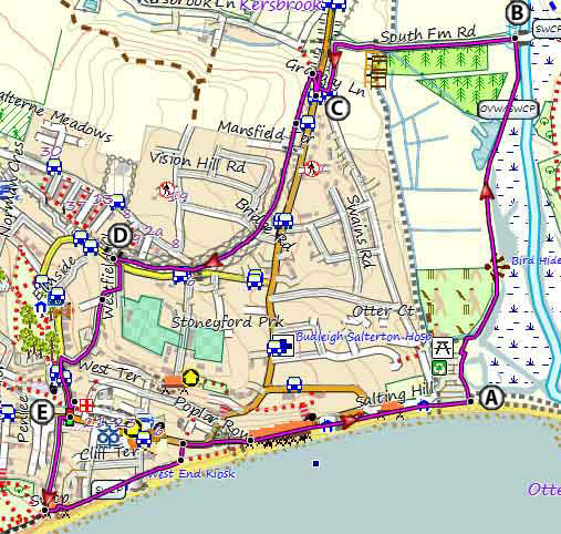 Tap map for larger version | ||
| Otter Estuary ; Raleigh Wall Scenery | |||
| see main parking area | |||
ThIs easy walk (3.2 miles) takes you along the pebbled sea-front,the famous 'Raleigh Wall', the Otter Estuary Nature reserve with its teeming wild life and the disused railway line to Otterton. | |||
| Show on Google Earth | |||
| GPX for GPS | |||
| How to view a GPX file |
| Walks near Budleigh: | |||
.jpg) | .jpg) | .jpg) | |
| Otterton | Colaton Raleigh | Exmouth | |
Walk 2
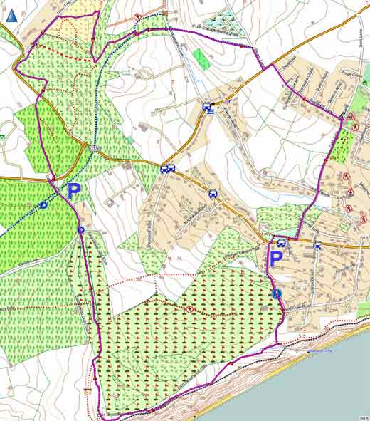
| Walk 2 Littleham (5.9 miles) | Time:2h 30 mins |
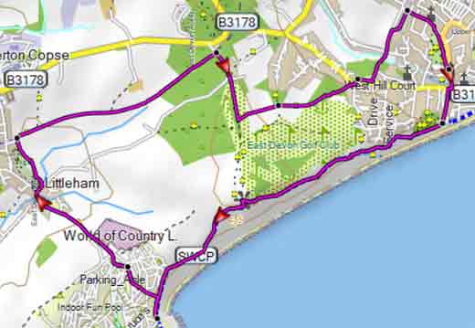 Tap map for larger version | Our most popular walk runs along the coast & into Littleham,past the Clinton Arms;it then follows part of the old railway line between Budleigh and Exmouth and crosses a fairly active golf course. There are two steady climbs. | ||
| see main parking area | |||
| GPX for GPS | |||
| Show on Google Earth | |||
Walk 3
| Walk 3 Woods & moorland (2.1 miles) | Time:1h |
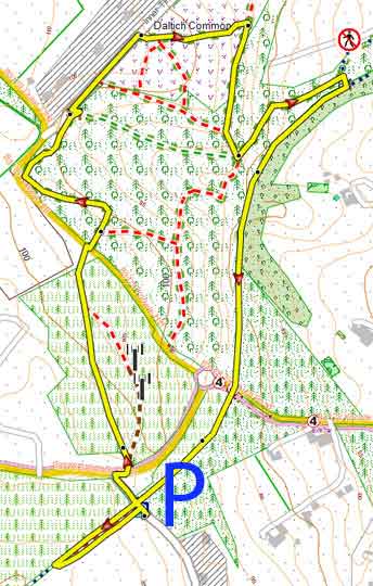 Tap map for larger version | Park on Castle lane just after the bridge across a disused railway - spaces are limited.. This short but quite invigorating walk is something different and explores the often forgotten beauty of woods and moorland near Budleigh. | ||||
| |||||
| see main parking area | |||||
| GPX for GPS | |||||
| Show on Google Earth | |||||
Walk 4
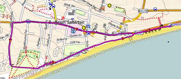
| Walk 4 Coastline & dismantled railway (4.4 miles) | Time:1h 50 mins |
 Tap map for larger version | This scenic ,varied & easy route is most enjoyable - coastline,golf course,forests,moor land , dismantled railway and old lanes. Take care when crossing two busy roads. | ||
| see main parking area | |||
Walk 5
| Walk 5 Town Trail (1.6 miles) | Time:40 mins |
 Tap map for larger version | A must do walk if all the other walks are too long. | ||
| see main parking area | |||
Walk 6
| Walk 6 East Budleigh (5.5 or 8.2 miles) | Time:3h 20 mins |
 | Budleigh Salterton to East Budleigh - Check out | ||
| Budleigh | Free Budleigh car Park,next to the Pay carpark | ||