Ashcombe Walk
The walk follows the lush and undisturbed valley of the Dawlish Waters and retraces a route vividly described by the 18th century John Swete in his 'Journal Eleven' (from his Tavels In Georgian Devon) .
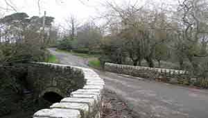
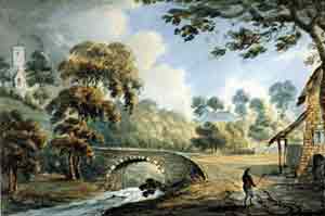
His colourful illustrations depict old cottages, a mill and Ashcombe church; unfortunately, there appears to be no sign of any water mill in Ashcombe.

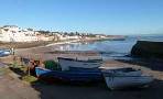
| Church Street, Dawlish |
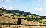
| hamlet of Ashcombe |
A combe is a fertile valley with steep sides.
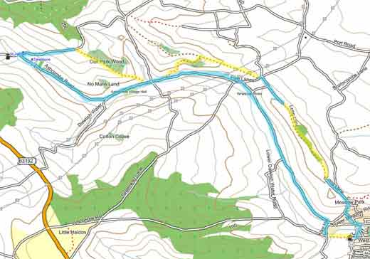
Distance:10.9 miles
Difficulty:![]()
The church, dedicated to Saint Nectan, has 13th century lancet windows and a 14th century chancel arch.
'The cottages were more frequent as I approached the church... the scenery was not only picturesque but romantic- '
The walk continues up 'a steep hill, mounting to an elevated ridge' ; the walk descends through a forest and winds itself back up to the ridge which offers commanding views of the Exe.
The walk through 'Long Lane' can be muddy.
| Some stretches along a country lane may be subject to traffic. |
length: | 10.9 miles |
terrain: | tracks, paths |
| lanes | |
main roads | 0 % |
yes | |
altitude range | 18 - 117 m |
quality of track | **** |
Download GPX Route for Mobile / GPS
Download FIT Route for Watches / GPS

There is one steep climb.